


The story
About this print
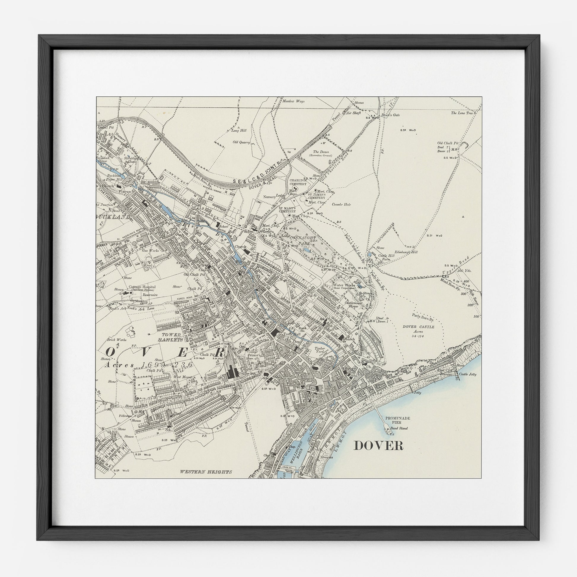
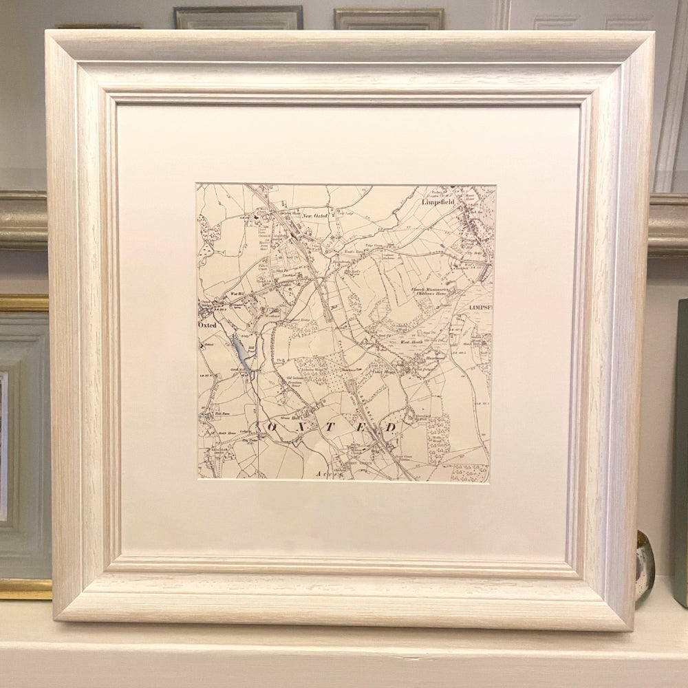
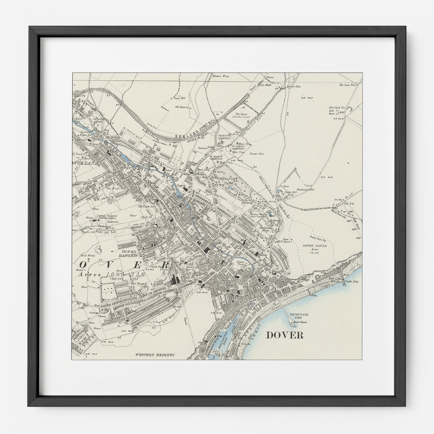
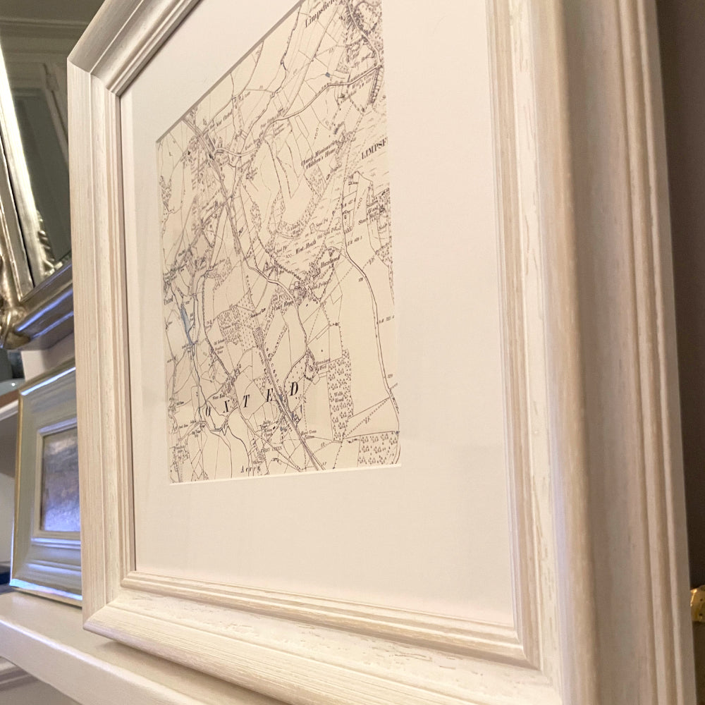
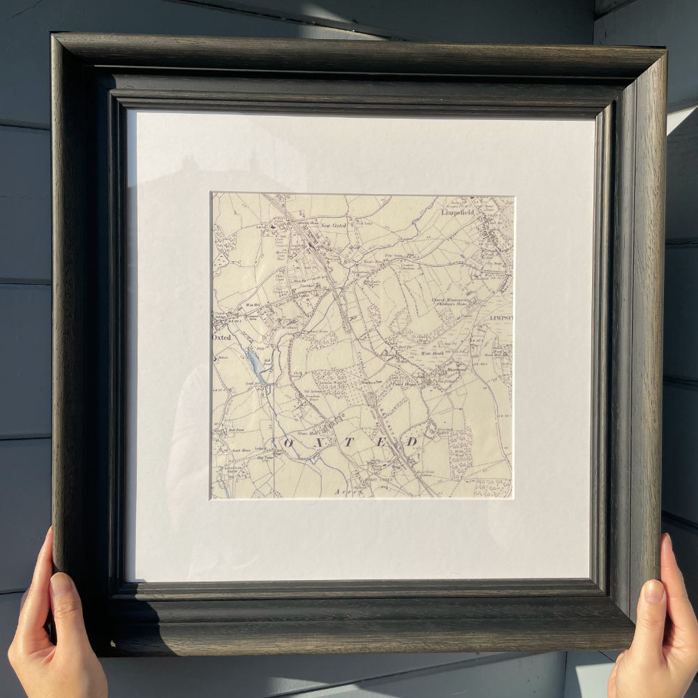
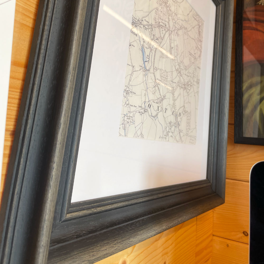
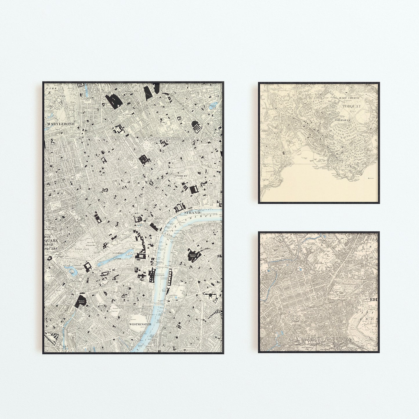
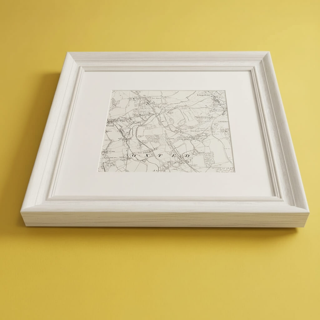
Decorate your home with a custom old os map of anywhere in Great Britain (England, Wales and Scotland). Personalise your own ordnance survey historical map with your chosen location.
Create a beautiful personalised map print with our live preview and select different maps from the 1800's and 1900's. We have an archive of thousands of high resolution scans of original historical ordnance survey maps that accurately show roads, buildings, landmarks, etc from over a century ago. Including several professionally framed options.
We also offer several other old maps that are not available online so please contact us if you have any requests for maps of specific time periods and we can provide you with options.
Each sheet has been carefully joined together to form a full join-less map of the entirety of Great Britain. Whilst every effort has been made to accurately align each sheet using the known boundaries of Ordnance Survey historical maps, there may however be some areas that don't line up exactly. This is partly because maps from a century ago were not surveyed nor intended to be used with the greater accuracy of present-day technologies, but also potentially due to the warping of paper map sheets over time.

The craft